Hiking along the Ridgeline Trail for the 1st time
Mountains in Charlotte? Are you kidding?
When I discovered Crowders Mountain State Park I was shocked.
A 10-mile chain of small mountains rise about 20 miles west of Charlotte and 75 miles …
This item is available in full to subscribers.
Subscribe to continue reading. Already a subscriber? Sign in
Get 50% of all subscriptions for a limited time. Subscribe today.
Please log in to continue |
Hiking along the Ridgeline Trail for the 1st time


Mountains in Charlotte? Are you kidding?
When I discovered Crowders Mountain State Park I was shocked.
A 10-mile chain of small mountains rise about 20 miles west of Charlotte and 75 miles from the Appalachians. I wanted to hike the Ridgeline Trail that makes it possible. The 16-mile trail traverses 3 parks and 2 states. It follows a group of small yet rocky mountains that tower above the flat North Carolina piedmont.
These types of mountains are known as monadnocks. They are rocky masses that have resisted erosion and stand isolated in a plain.
The trail passes through Kings Mountain National Military Park and Kings Mountain State Park in SC, and Crowders Mountain State Park in NC.
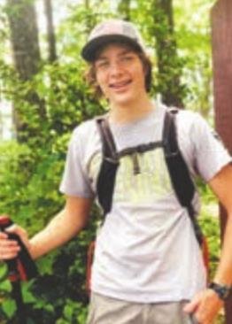
After months of planning, my friend, David Gabrielli and I hiked the popular trail.
ON THE FIRST day of winter, I woke up before the roosters and climbed into my cold car. Most of the 2-hour drive to Gastonia, about 15 miles west of Charlotte, was in the dark. When the sun rose, a thick fog made driving difficult.
By 7:45 we made it to the Linwood Access of Crowders Mountain State Park but had to wait for the gate to open at 8. Then, we drove 20 minutes to Kings Mountain.
We started into the foggy woods on a wide trail. Except for a few trees with brown leaves the winter forest was barren. It was a 40-degree morning, but between our brisk pace and a light jacket, we were comfortable.
A couple of miles into the trail, an abrupt 20 yard wide clear-cut marked the South Carolina/North Carolina border where we left Kings Mountain and entered Crowders Mountain State Park.
In NC, the trail narrowed to a single track with more mountain laurel and rocks. The trail meandered through valleys before climbing to the start of the ridge.
We passed the Boulders Access Area and crossed over a road. All the park’s road crossings have nice crosswalks with signals.
A MODERATE CLIMB led to the Boulders Lookout. At the peak, a 20-foot tall boulder was begging to be climbed. At the top awaited a view of the pastures and Interstate below.
Beyond the boulder, a family explored a narrow crevice.
For the first 3 miles, we had the trail to ourselves but as we continued north through the park, the crowds grew. We passed a small stream, the first water source of the day, before making a moderately difficult climb to the ridgeline.
At the top, the fog had cleared and it was sunny and warm enough to take off my jacket.
We stopped for lunch. I had half a sub and David ate his grandma’s home-made ham biscuits. He shared one with me and it was delicious.
We hiked down the other side of the hill to another road where we had our hardest climb yet.
Seemingly endless wooden steps led up the ridge as far as we could see. We climbed a half-mile Til the trail flattened out.
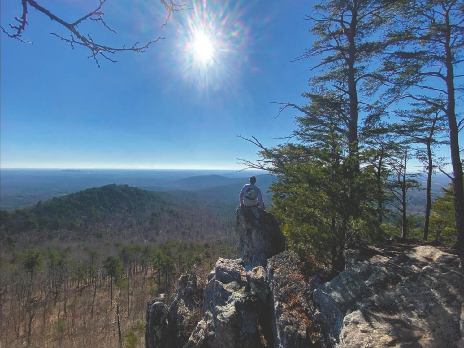
From the ridge, we could see steep cliffs ahead. At the top is the park’s most popular view, The Pinnacle.
THE RIDGELINE TRAIL intersects the heavily traveled Pinnacle Trail that leads to the peak. Although the climb was steep, the much bigger trail and switchbacks made it easier. Steep rock stairs lead to a stunning view.
From the Pinnacle, we could see the entire ridgeline to the South. To the east, the land looked flat except for a couple of small hills and Charlotte’s skyline.
Climbing down the mountain was hard on our knees, and we were starting to feel the 9 miles we have hiked. We enjoyed the 2 miles downhill because we knew the hardest was yet to come.
After our descent, we made it to a little creek that marked the bottom. Our legs were already hurting and we still had our hardest climb ahead on the Rocktop Trail to the top of Crowders Mountain.
IT WAS TOUGH. We had to watch each step to avoid twisting an ankle. We thought we made it to the top but we didn’t as another hill lay ahead.
At the top of Crowders Mountain, our final peak of the day, 2 radio station towers were gated. The view was just below the tower. We sat on the rocks exhausted and ate the rest of our food.
We had less than a mile to the car so we got back on the trail and walked down 300 steps and a steep trail to the car.
After 7 hours and 13.8 miles, we were exhausted. But, the trail was more than worth it.
If you plan to Visit Crowders Mountain State Park, I would do the 2-mile hike to the Pinnacle. Visit during the week to avoid the weekend crowds. Kings Mountain State Park has lots to see as well with over 30 miles of trails that are easy to moderate.
If you have any questions, email me at cole.lexchron@gmail.com .


Comments
No comments on this item Please log in to comment by clicking here